View
Larger Map
Directions to Driving Tour Stop #9
Return on PA Route 403 North for 8.1 miles
through Benson to the intersection with PA Route
601. Proceed on PA Route 601 South 1.4 miles, turn
left onto Plank Road, then immediately turn right
onto Quemahoning Dam Road. Travel 0.9 miles to the
dam breast or continue another 1.8 miles to the
Quemahoning Family Recreation Area.
|
|
Latitude: 40.1142
Longitude: -78.9258
View Map
Print-friendly
version
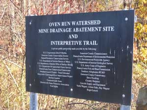
Driving Tour Stop #8
Oven Run and a companion stream, Pokeytown Run, were
river killers. Due to abandoned-mine drainage (AMD), these
streams were as acidic as vinegar and laden with dissolved
iron and aluminum that destroyed all life in the
Stonycreek River for miles below their outflow.
Local conservationists organized as the
Stonycreek-Conemaugh River Improvement Project (SCRIP) and
tackled Oven Run as one of its first projects in the early
1990s. Spearheaded by SCRIP, a coalition of groups -
including county, state and federal agencies - obtained $5
million in funding to passively treat six sites. A series
of settling ponds and wetlands remove the metals and
return the streams to a near-neutral state. The dramatic
result has been restoration of aquatic life throughout the
Stonycreek River.
On an interpretive trail here you can learn how wetlands
and settling ponds remove 800 to 900 tons of acidity, 200
tons of iron and 200 tons of aluminum each year at these
six sites and resurrect the life-giving water from killer
mine discharges.
Related Links:
|