View Larger Map
Directions to Driving Tour Stop #8
From Benson, proceed 8.0 miles on PA Route 403 South to the Oven Run Wetlands and Interpretive Trail. The gravel parking area for the site is on the right, just a couple hundred feet beyond Oven Run.
|
|
Latitude: 40.2092
Longitude: -78.9283
View Map
Print-friendly version
Driving Tour Stop #7
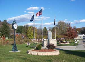
The river towns of Benson and Hollsopple sit together where the Stonycreek River and PA routes 403 and 601 converge. They owe their original existence to the Baltimore and Ohio Railroad, which ran its Somerset & Cambria Branch along the Stonycreek and established Bethel Station in 1881. The depot still stands today and has become a social and recreation center within the community.
Coal mining began here around 1900, and by 1917 the Victor Mining Company had developed Haws No. 1 and No. 3 mines along with worker housing within the community. Haws No. 3 operated into the 1940s.
The portion of the community located on the south side of the Stonycreek River in Paint Township was incorporated as a borough in 1892 and named for Samuel Benson, who built the second Somerset County Courthouse. The remaining portion of Hollsopple north of the Stonycreek is an unincorporated village within Conemaugh Township. You also will find variations of spellings for “Hollsopple” on signs within the village with some spelling the name with just one “L.”
Today, these communities welcome visitors to The Stonycreek Corridor and serve as a gateway to Quemahoning Lake and the Stonycreek Canyon. There are two put-in points here for boaters wanting to challenge the Canyon’s 15 sets of rapids.
Related Links:
|