 |
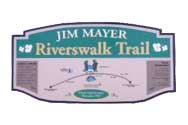
The James
Mayer Riverswalk Rail Trail extends alongside a
picturesque sweeping curve in the Stonycreek River between
Johnstown's Moxham neighborhood and the suburban community
of Riverside. At 1.5 miles in length, this trail is a way
for almost anyone to experience the beauty of The
Stonycreek.
For more information.
|
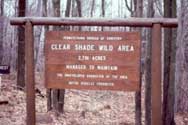 |
The John P.
Saylor Trail is an easy trail with gradual grades that
features large and small loops, linked by a suspension
bridge, that total 18 miles. The smaller, five-mile loop
circles through the Clear Shade Wild Area, while the larger
loop runs through an old logging camp and traces of a
logging railroad. The same trailhead serves the 26-mile Lost
Turkey Trail that extends into Bedford County.
For more information.
|
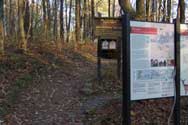 |
The Laurel
Highlands Hiking Trail extends for 70 miles atop
Laurel Ridge from Ohiopyle State Park to Johnstown and
includes eight overnight shelter areas - one every six to 10
miles. There's a trailhead within The Stonycreek Corridor
along U.S. Route 30. The trail is open all year round, but
reservations are required.
For more information.
|
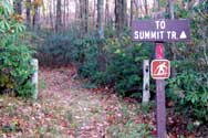 |
The Laurel
Highlands Trail System is a network of trails in the
Forbes State Forest that covers the top of Laurel Ridge.
These trails can be mountain-biked, hiked, cross-country
skied and to a more-limited degree ridden on horses. Several
of the trails follow rights-of-way established by a logging
railroad.
For more information.
|